Wayanad District (
Malayalam: വയനാട്) in the north-east of
Kerala,
India, was formed on November 1, 1980 as the 12th district by carving out areas from
Kozhikode and
Kannur districts.
Kalpetta
is the district headquarters as well as the only municipal town in the
district. The region was known as Mayakshetra (Maya's land) in the
earliest records. Mayakshetra evolved into Mayanad and finally to
Wayanad.
[1] The
Folk etymology of the word says it is a combination of
Vayal (
paddy field) and
Naad (land), making it 'The Land of Paddy Fields'. There are many indigenous
tribals in this area.
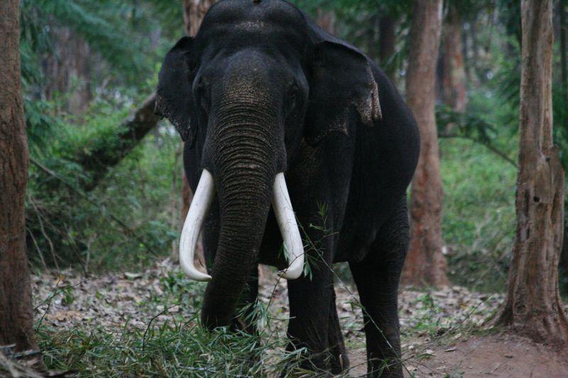
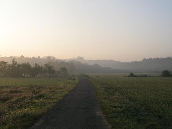
[2] It is set high on the majestic
Western Ghats with altitudes ranging from 700 to 2100 m.
History
According to
archaeological evidence, the Wayanad(Vayal+nadu(
Tamil/
Malayalam)) forests have been inhabited for more than three thousand years.Wayanad has a powerful
history.
Historians are of the view that organised human life existed in these parts, at least ten centuries
before Christ. Countless evidences about
New Stone Age civilisation can be seen on the hills of Wayanad. The two caves of Ampukuthimala located between
Sulthan Bathery and
Ambalavayal, with pictures on their walls and pictorial writings, speak volumes of the bygone era and
civilisation.
Recorded history of this district is available from the 18th century.
In ancient times, this land was ruled by the Rajas of the Veda tribe. In
later days, Wayanad came under the rule of the
Pazhassi Rajas of Kottayam royal dynasty. When
Hyder Ali[6] becames the ruler of
Mysore, he invaded Wayanad and brought it under his sway. In the days of
Tipu,
[7] Wayanad was restored to the Kottayam royal dynasty. But Tipu handed over the entire
Malabar[8] region to the
British, after the Sreerangapattanam
[9] truce, he made with them. This was followed by fierce and internecine encounters between the
British and Kerala Varma
Pazhassi Raja of Kottayam. When the Rajah was driven to the wilderness of Wayanad, he organised the war-like
Kurichiya tribals into a sort of people's militia and engaged the
British in several guerrilla type encounters. In the end, the
British
could get only the dead body of the Rajah, who killed himself somewhere
in the interior of the forest. Thus, Wayanad fell into the hands of the
British and with it came a new turn in the Home of this area. The
British
authorities opened up the plateau for cultivation of tea and other cash
crops. Roads were laid across the dangerous slopes of Wayanad, from
Kozhikode and
Thalassery. These roads were extended to the cities of
Mysore and
Ooty
through Gudalur. Through the roads poured in settlers from all parts of
Kerala and the virgin forest lands proved a veritable goldmine with
incredible yields of cash crops. When the State of
Kerala came into being in November 1956, Wayanad was part of
Kannur district. Later, south Wayanad was added to
Kozhikode
district. In order to fulfil the aspirations of the people of Wayanad
for development, north Wayanad and South Wayanad were carved out and
joined together to form the present district of Wayanad. This district
came into being on November 1, 1980 as the 12 district of
Kerala[10] comprising three
taluks;
Vythiri,
Mananthavady, and
Sulthan Bathery. Descendants of the
Kurichiya tribes that fought the British alongside
Pazhassi Raja have their settlements in and around
Banasura Peak. In fact there are four tribal villages lying close to
Banasura Peak, three belonging to the
Kurichiyas and one belonging to the Paniyas.
[11].